Thursday 27 November 2025
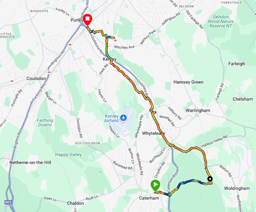
7.81 miles in 2:12:56 at average speed of 3.52 mph
Stations visited:
Southern
Caterham, Woldingham, Whyteleafe South, Upper Warlingham, Whyteleafe,
Kenley, Riddlesdown, Purley
Click the map below to view it interactively in Garmin Connect.
Commentary
It was a lot warmer than 2 days ago. This route has the severest hills of all the routes, in particular between Caterham and Woldingham Station. Combine a steep downslope with slippery mud and summer shoes and I’m going to fall over into some brambles (twice). Trail shoes would have been better most of the time but it was so slippery I don’t think they’d have stopped me falling over.
There were a few steep downhill footpaths near Purley which whilst they were tarmac the stairs were covered in wet leaves. I had to negotiate these very slowly to prevent a very nasty accident.